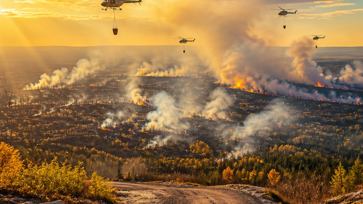
FORT MC MURRAY — Wildfire danger has risen to high across the Fort McMurray Forest Area as hot, dry conditions increase the likelihood of new ignitions, provincial fire authorities say. There are currently no active wildfires inside the immediate Fort McMurray region, but officials are urging caution amid drying forests and a continued firefighting effort in neighbouring Wood Buffalo National Park.
Bear Creek complex: scale and operations
Parks Canada reports the Bear Creek Wildfire Complex has burned an estimated 48,828 hectares. The incident remains an active priority for federal crews: 86 firefighters, 11 helicopters and an incident management team are assigned to the complex.
Overnight infrared drone flights identified thousands of persistent hotspots, concentrated mainly on a fire within the complex designated 2026WB019. Crews continue extinguishing those hot areas and strengthening containment lines.
- Fire 2026WB017 — about 13 km south of Highway 5; estimated 14,947 hectares; 42% contained.
- Fire 2026WB019 — roughly 2.5 km north of Highway 5 near Mile 99; estimated 22,517 hectares; 42% of the perimeter contained and 11% controlled.
- Fire 2026WB020 — about 66 km northwest of Fort Smith; estimated 11,364 hectares; 51% contained.
Local implications and public advice
Although Fort McMurray itself does not currently host active wildfires, fire managers warn the combination of warm temperatures and low humidity will raise wildfire activity across the region. Forecasts call for daytime highs near 30 C with only a small chance of showers or thunderstorms — conditions that tend to increase fire behaviour later in the day as relative humidity falls.
“Residents and visitors should use caution outdoors as forests continue to dry, making fires easier to ignite and spread,”
Smoke from distant fires in the Northwest Territories is visible across Wood Buffalo National Park and surrounding areas. Changing winds are expected to move smoke from the Bear Creek complex toward Fort Smith later in the week, though Parks Canada says Highway 5 remains open despite some online maps indicating otherwise.
| Fire ID | Location relative to Highway 5 | Estimated area (ha) | Containment |
|---|---|---|---|
| 2026WB017 | ~13 km south | 14,947 | 42% |
| 2026WB019 | ~2.5 km north (Mile 99) | 22,517 | 42% perimeter, 11% controlled |
| 2026WB020 | ~66 km NW of Fort Smith | 11,364 | 51% |
Since the start of the year Alberta Wildfire has recorded 40 wildfires within the Fort McMurray Forest Area. Local authorities advise people to avoid open burning, to report smoke or signs of fire promptly, and to follow updates from Alberta Wildfire and Parks Canada.
For residents planning outdoor activities, the current situation underscores the need to carry means of communication, avoid ignition sources such as campfires and discarded cigarettes, and be prepared to alter plans if conditions deteriorate.