Forecasters and climate scientists are warning that a robust El Niño in the tropical Pacific is likely to shape North American weather for months, increasing the probability of severe coastal storms and heavier-than-normal precipitation in some regions.
How El Niño is affecting this season
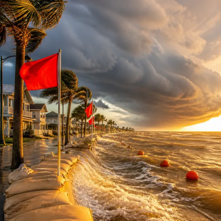
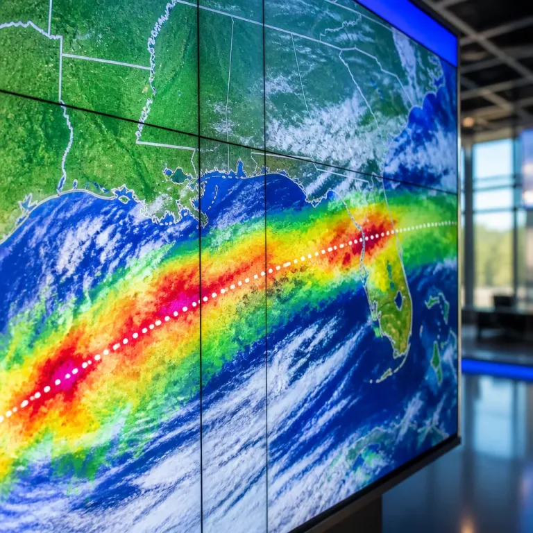
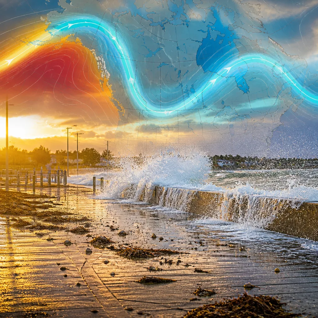
El Niño — a recurring ocean-atmosphere pattern characterized by unusually warm sea surface temperatures in the central and eastern tropical Pacific — alters large-scale circulation and shifts the jet stream. That shift has been implicated in a recent nor'easter that drenched the U.S. East Coast from North Carolina to Maine over the past weekend.
“El Niño de Navidad” — the phrase Spanish fishermen used historically — refers to the warm-water pulse that appears around Christmastime.
Scientists caution that attributing any single storm directly to El Niño is complex; nonetheless, the pattern can create conditions that favour the genesis and northward movement of coastal storms. The same warmer Pacific that helps spawn these systems is also associated with heightened tropical cyclone activity in the central and eastern Pacific basin, already felt this year in Hawai‘i.
Observed and projected impacts
Meteorologists note several concrete connections between a strong El Niño and recent events:
- Southward displacement of the Pacific jet stream, which can aid formation of nor'easters off the southeastern U.S. coast and help them track up the Eastern Seaboard.
- Warmer ocean temperatures that can supply extra moisture and energy to coastal storms, increasing risks of heavy rain and flooding.
- Enhanced activity in the central and eastern Pacific hurricane corridors, with ongoing threats to places such as Hawai‘i and parts of Mexico.
At the time of reporting, forecasters had identified Pacific tropical systems — given the informal names mentioned in recent coverage — that threatened additional coastal flooding and rainfall in parts of the Pacific basin.
| Region | Observed or Expected Effect |
|---|---|
| U.S. East Coast | Nor'easter formation more likely; increased heavy-rain and coastal-flooding risk |
| Pacific basin (Hawai‘i, Mexico) | More frequent/intense tropical storms; elevated flood risk |
What to watch for and safety guidance
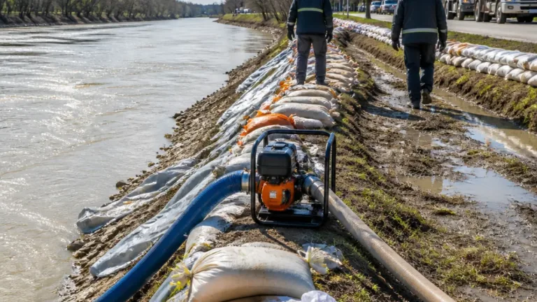
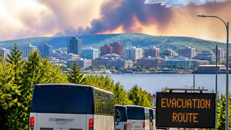
Weather services urge residents in vulnerable coastal and low-lying areas to monitor local forecasts and heed official advisories. Practical precautions include checking flood maps, preparing an emergency kit, reviewing evacuation routes and ensuring sump pumps and drainage are functional.
While El Niño is a naturally occurring cycle, experts emphasise it acts atop a warming climate, which can amplify storm impacts by increasing atmospheric moisture and raising sea levels that worsen coastal inundation. Determining the exact contribution of climate change to this El Niño's intensity remains an active area of research.
For now, the primary takeaway for emergency managers and the public is heightened vigilance: expect a season with elevated uncertainty and greater potential for disruptive storms where El Niño exerts influence.