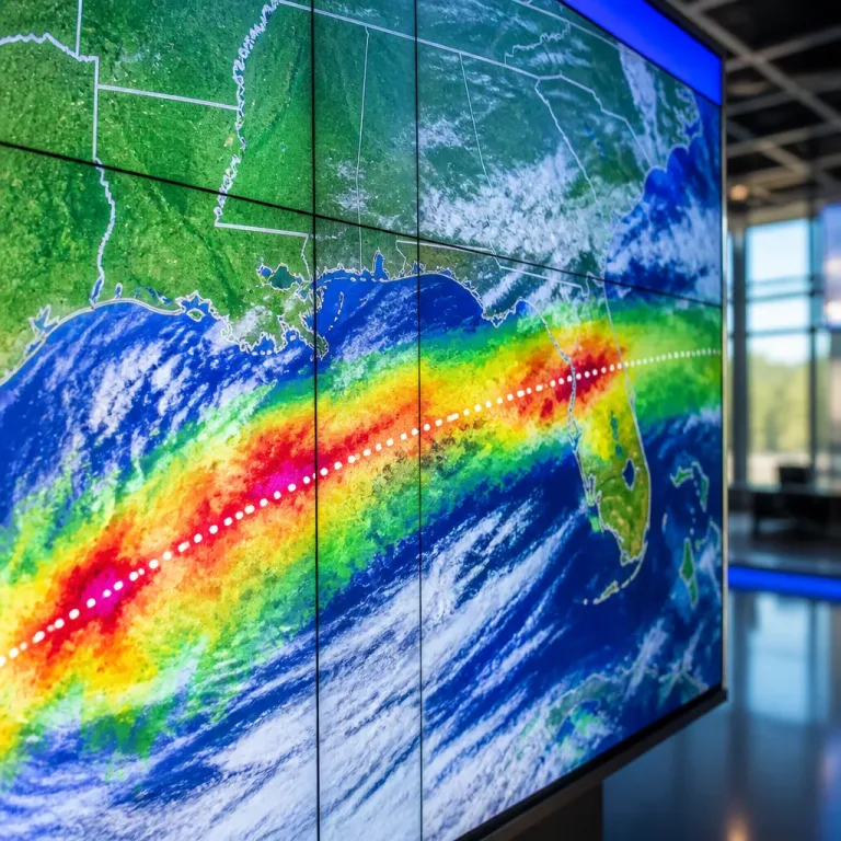
Tropical Storm Isaias was intensifying in the southwestern Gulf of Mexico on Wednesday and is forecast to reach hurricane strength by Thursday morning, according to data from U.S. forecasters. The system, located several hundred miles south‑southwest of New Orleans, carried maximum sustained winds near 65 mph as it moved northeastward.
Forecast and timing
Forecasters expect Isaias to strengthen rapidly over the coming 48 hours. Guidance indicates it may intensify to at least a Category 2 hurricane by Friday evening as it traverses very warm Gulf waters, where sea surface temperatures are reportedly in the low 80s°F. The system is projected to turn northward and approach the northern Gulf Coast, with a possible landfall anywhere from south‑eastern Louisiana to the Florida Panhandle by late Friday into Saturday.
Watches and threatened areas
Authorities have expanded watches to cover coastal and some inland areas. The National Hurricane Center has issued a hurricane watch from Bay St. Louis, Mississippi, to Indian Pass, Florida. Tropical storm watches and storm surge watches are also in effect for adjacent coastal stretches and inland counties.
- Hurricane watch: Bay St. Louis, Miss., to Indian Pass, Fla.; includes portions of southern Alabama inland.
- Tropical storm watch: Jefferson/Plaquemines Parish line south of New Orleans to west of Bay St. Louis, and east of Indian Pass to the Aucilla River, Fla.; extends into much of inland southern Alabama north of hurricane watches.
- Storm surge watch: Mouth of the Mississippi River to Yankeetown, Fla.
| Watch type | Area covered |
|---|---|
| Hurricane watch | Bay St. Louis, MS → Indian Pass, FL |
| Tropical storm watch | Jefferson/Plaquemines Parish line S of New Orleans → west of Bay St. Louis; east of Indian Pass → Aucilla River, FL |
| Storm surge watch | Mouth of Mississippi River → Yankeetown, FL |
Potential impacts and uncertainty
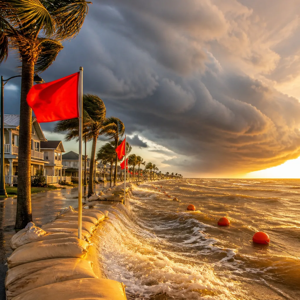
Impacts will depend on the final track and intensity, but forecasters say the greatest threats will be heavy rainfall, storm surge along the coast, and damaging winds near the landfall zone. Much of the storm's hazardous weather is expected to occur along and to the east of its centreline as it moves inland and is likely to be driven well into the southeastern United States after landfall.
Forecasters note that environmental conditions—particularly warm Gulf waters—are favourable for strengthening, but the exact landfall location remains uncertain. Computer model solutions show a range of possible tracks across the northern Gulf Coast, meaning coastal communities should prepare for a range of hazards.
Precautions
Residents in watch areas should finalise preparations and monitor local emergency information. Recommended actions include securing loose outdoor items, checking evacuation routes where applicable, preparing for possible power outages, and ensuring adequate supplies of food, water and medications. Those planning travel across the Gulf or eastern seaboard should expect disruptions, and mariners should heed offshore advisories.
Isaias is the ninth named storm of the 2026 Atlantic hurricane season, and state officials in Florida have already declared a state of emergency for 25 counties in advance of the system.
Canadians with interests in maritime operations, transits through the southeast U.S. or those who monitor Atlantic weather should continue to watch official updates from the National Hurricane Center and local emergency management offices as the situation evolves.