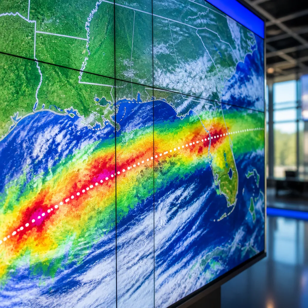
Meteorologists were tracking the likely formation of Tropical Storm Bertha in the northern Gulf Coast on Monday, with forecasts indicating the system could be the second named storm of the 2026 Atlantic hurricane season. Agencies warned the developing system posed a risk of heavy rain for a broad corridor from Florida to Texas.
Current forecast and uncertainty
Public reporting indicates the disturbance is expected to reach tropical-storm status on Monday. Forecast tracks and intensity remain subject to change as the system organizes. Officials emphasise that the primary near-term threat is heavy rainfall rather than immediate landfall intensity.
Areas likely to be affected
- Florida — risk of heavy rain and localized flooding along coastal and inland areas.
- Gulf Coast states generally — widespread heavy rainfall through parts of Alabama, Mississippi and Louisiana is possible depending on the track.
- Texas — eastern Texas could see heavy downpours and flooding if the system tracks westward.
News coverage notes the system is expected to deliver substantial rainfall across the region; however, specifics such as rainfall totals, wind speeds and precise timing were not provided in the available material. That uncertainty means impacts could vary considerably over short distances.
| Item | Reported detail |
|---|---|
| Storm name | Bertha (expected) |
| Season | 2026 Atlantic hurricane season — second named storm |
| Primary threat | Heavy rain, from Florida to Texas |
| Timing | Expected to form on Monday (per reports) |
Preparedness and safety guidance
Authorities and meteorologists advise residents in potentially affected areas to monitor official sources (such as the U.S. National Hurricane Center and local emergency management) for updated watches, warnings and forecast tracks. Key preparedness steps include:
- Reviewing flood-risk plans and knowing evacuation routes for low-lying areas.
- Securing loose outdoor items and preparing an emergency kit with water, food and medication for at least 72 hours.
- Avoiding driving through flooded roadways — even shallow water can stall vehicles and hide hazards.
While the system was reported as forming in the northern Gulf Coast, its evolution and specific impacts will become clearer as more observations and model guidance are posted. Residents from Florida through Texas should remain alert to updates and heed any local advisories or orders issued by emergency officials.
Reporting was based on current news summaries and national coverage; for detailed local forecasts and official watches, consult the appropriate meteorological and emergency management agencies.