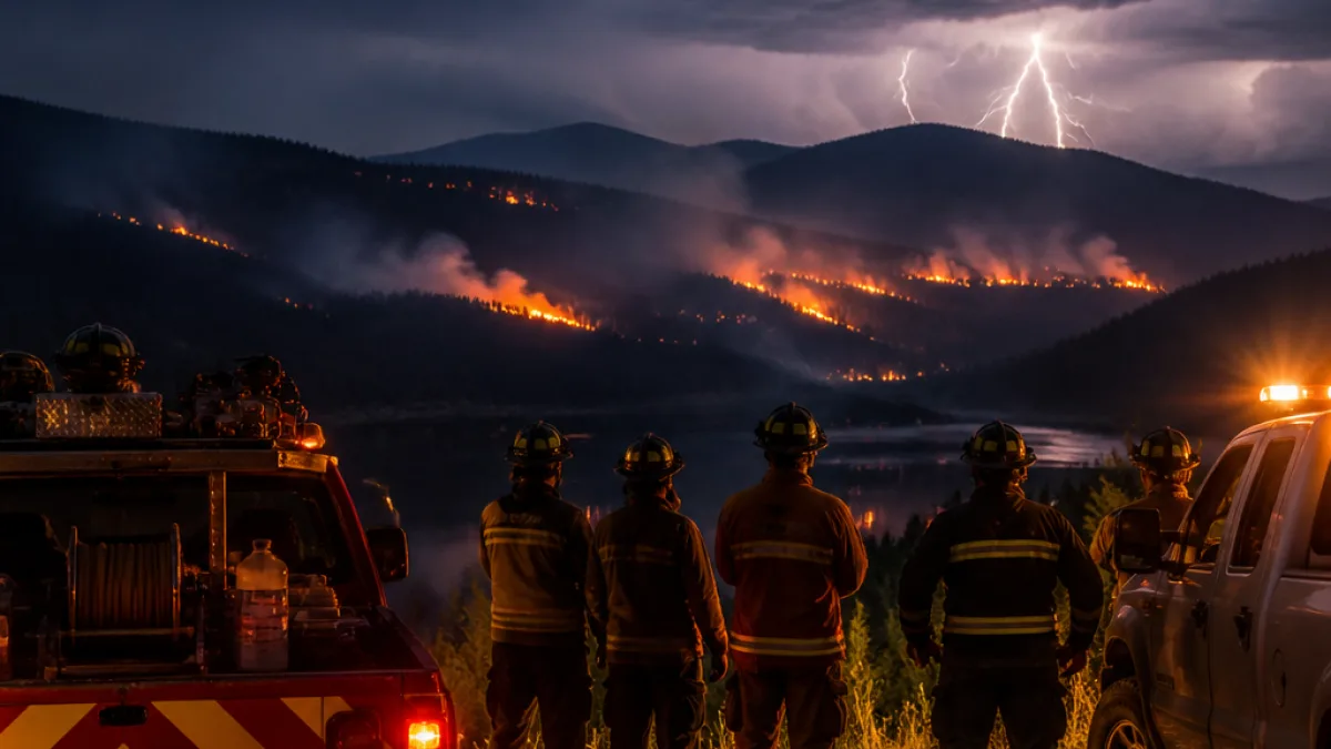
An unexpected overnight thunderstorm that moved through southeastern British Columbia late Thursday into Friday sparked six separate wildfires across the West Kootenay, the BC Wildfire Service reported Friday.
Small fires, swift responses
Crews discovered six new ignitions on July 17 near Castlegar, Trail, Warfield, Rossland, Fruitvale and Salmo. By 4:30 p.m. that day all six incidents remained small; several were already held, controlled or extinguished following initial suppression efforts.
The largest of the new starts, mapped as N50896 near Castlegar, was estimated at 0.19 hectares and listed as held — a designation indicating it is expected to stay within its current perimeter given prevailing fuel, weather and resource conditions. Other discoveries include two small fires near Trail and multiple ignitions around the Bear Creek and Gopher Creek areas.
| Fire ID | Location | Estimated size | Status |
|---|---|---|---|
| N50896 | Near Castlegar | 0.19 ha | Held |
| N50919 | Near Salmo | 0.009 ha | Out of control |
| N50894 (Gorge Creek) | Near Trail | 0.009 ha | Held |
| N50904 (Bear Creek) | Trail/Fruitvale area | 0.01 ha | Under control |
| N50911 (Gopher Creek) | SW of Trail (Rossland area) | 0.009 ha | Extinguished |
| N50914 | North of Trail toward Warfield | 0.009 ha | Under control |
Context and risk outlook
BC Wildfire Service statistics cited by local officials show a spike in lightning-caused starts in the Southeast Fire Centre this week, with 11 active fires attributed to lightning versus three reported as human-caused and three with undetermined origins. Forecasters have signalled that warming and drying are expected to persist through the coming week, broadening to the north and west across the province.
That trend — higher temperatures and limited precipitation — dries fuels and raises the likelihood that future thunderstorms or other ignition sources will produce additional wildfire starts. The overnight event that produced these six ignitions underscores how quickly conditions can change during summer storm activity.
What residents should know
Local authorities advise residents to stay aware of changing conditions and to follow any direction from emergency personnel. Practical steps include:
- Signing up for local emergency alerts and monitoring official BC Wildfire Service updates.
- Clearing combustible material from around homes and outbuildings where possible.
- Preparing for potential smoke impacts by identifying a clean-air room and having N95 respirators available for those with respiratory vulnerabilities.
At present, the incidents reported on July 17 remain small and largely contained, but the combination of lightning activity and drying fuels keeps the risk elevated for the West Kootenay and surrounding areas. Fire crews will continue to monitor and mop up affected sites while the province watches for further thunderstorm development.
For the latest information, residents should consult the BC Wildfire Service website and local emergency management offices.