
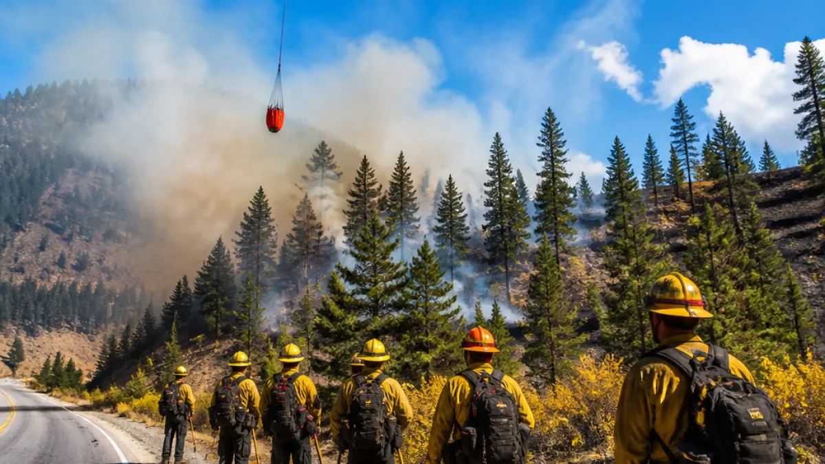
Small but active wildfire burning near Vernon–Slocan Highway
The Barnes Creek fire, first ignited by lightning during a thunderstorm on the night of July 15, has been burning near the Vernon–Slocan Highway in the Arrow Lakes area since Thursday, July 16. By 4 p.m. on Thursday the blaze had consumed an area roughly half the size of a football field; by 9 a.m. on Friday, July 17, the BC Wildfire Service (BCWS) reported the fire had expanded to about 1.2 hectares, larger than a rugby pitch.
The fire is located approximately 1.5 kilometres east of Highway 6 and about five kilometres west of Whatshan Lake, roughly 10 kilometres northwest of the community of Needles. The site sits within provincial jurisdiction monitored by BCWS, which has responsibility for managing wildfire response and public safety in the region.
Resources deployed and current actions
BCWS has mobilized both air and ground resources to contain the blaze. The agency confirmed the deployment of a helicopter and a ground crew of wildland firefighters to the scene to conduct suppression work and assess fire behaviour.
"By 9 a.m. Friday, BCWS said it had deployed a helicopter and half-dozen wildland firefighters to battle the blaze."
Local residents and travellers on the Vernon–Slocan Highway are advised to monitor conditions and heed any direction from provincial responders. At the time of the latest update BCWS did not report any structures or persons threatened, nor did it issue evacuation orders.
What Vernon-area residents should know
- Cause: Lightning (following storm activity on July 15).
- Size: 1.2 hectares as of 9 a.m., July 17.
- Location: About 1.5 km east of Highway 6, 5 km west of Whatshan Lake, and 10 km NW of Needles.
- Response: Helicopter and a team of roughly a half-dozen wildland firefighters on scene.
| Item | Detail |
|---|---|
| Fire name | Barnes Creek |
| Reported cause | Lightning |
| Size | 1.2 hectares (as of 9 a.m., July 17) |
| Nearest community | Needles (approx. 10 km SE) |
| Resources | Helicopter, wildland firefighters |
BCWS maintains an online map and incident updates for public information. Residents and visitors can monitor the fire status at the provincial wildfire information site: wildfiresituation.nrs.gov.bc.ca/map. Given the recent lightning activity across the region, officials continue to monitor other natural-start fires that may emerge.
The presence of an active wildfire in the Arrow Lakes corridor underscores ongoing wildfire risk in the Interior of British Columbia this season. Local authorities remind the public to remain vigilant about campfire bans, equipment use and other ignition sources that can exacerbate the situation.
InfoRadar will provide updates as BCWS issues further information about containment, resources or any impacts to roads and communities in the Vernon area.