Clear overnight, warm and brighter to begin the workweek
Milton begins Sunday night into early Monday under clear skies with a light northwest breeze and comfortable humidity. As of 1:01 a.m. on July 20, conditions were calm at 19.4 C, with pressure at 101.5 kPa and rising, a dew point of 6.9 C, relative humidity near 44%, and winds from the NW at 10 km/h. Temperatures are expected to dip to an overnight low near 11 C by early morning.
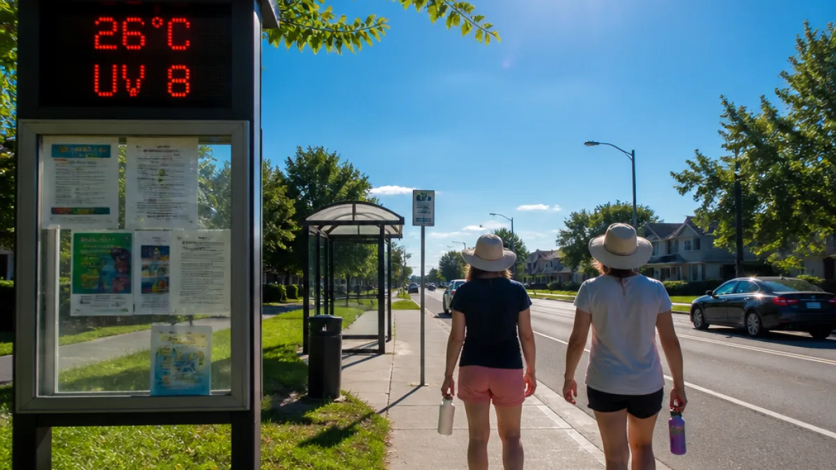
Monday brings a pronounced warm-up under abundant sunshine. Afternoon temperatures are forecast to reach 26 C, with the humidex pushing conditions to feel closer to 30. The wind will shift and increase, becoming southerly near 20 km/h later in the day. The UV index is 8, classified as very high by Environment Canada, warranting sun protection for anyone outdoors during midday.
Showers Tuesday, then a return to late‑week sun
Cloud cover builds Monday evening with a low near 16 C. Skies are forecast to clear again around midnight as the southerly breeze eases back to light. A change in the pattern arrives Tuesday, when showers are expected and the daytime high holds near 25 C. By Tuesday night, cloud persists with a 40% chance of showers and a cooler low of 14 C.
Mid‑week moderates further. Wednesday trends slightly cooler, topping out near 22 C with a mix of sun and cloud and a 30% chance of showers. A crisp and clear Wednesday night follows, with a low close to 11 C. From there, a stable pattern settles in: Thursday turns sunny at 26 C with clear skies overnight near 13 C. Friday offers a blend of sun and cloud near 26 C and a 30% chance of showers, leading into cloudy periods Friday night around 15 C. Saturday continues seasonable, reaching 26 C with alternating sun and cloud.
Seasonal context and planning notes for Milton
This week’s temperatures line up closely with late‑July normals for Milton — a daytime average near 27 C and a typical overnight low of about 15 C. Monday’s warmth and elevated humidex may feel sultry for the afternoon commute, while Tuesday’s rain offers a break for gardens and lawns ahead of another sunny stretch. The very high UV index of 8 on Monday means midday exposure can be intense; consider timing outdoor errands for early morning or later afternoon.
- Morning commutes: Early hours are cool and clear Monday; visibility should be good. Keep rain gear handy for Tuesday’s showers.
- Outdoor work and camps: Plan for sun protection Monday and Thursday, with heat moderation on Wednesday. Hydration will be important during Monday’s humidex peak.
- Recreation and events: Tuesday’s unsettled period could prompt brief delays. Late week looks favourable for parks, trails and patio dining.
At a glance: Milton’s week ahead
| Day | Conditions | High | Low | Notes |
|---|---|---|---|---|
| Mon | Sunny | 26 C | 16 C (night) | Humidex 30; UV 8 (very high); south wind to 20 km/h |
| Tue | Showers | 25 C | 14 C | Cloudy at night; 40% chance of showers |
| Wed | Sun/cloud mix; 30% shower chance | 22 C | 11 C | Clear overnight |
| Thu | Sunny | 26 C | 13 C | Clear at night |
| Fri | Sun/cloud mix; 30% shower chance | 26 C | 15 C | Cloudy periods at night; 30% chance of showers |
| Sat | Sun/cloud mix | 26 C | — | Seasonal |
Sunrise is at 5:56 a.m. with sunset near 8:54 p.m., offering long evening light for outdoor activities once the UV eases.
All figures are based on Environment Canada data provided through local reporting.