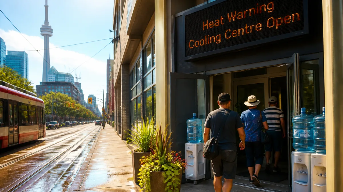
Heat intensifies across Ontario, with highest stress expected today
Ontario is set to face the most punishing day of its current heat wave, with forecasters calling for temperatures in the mid- to high 30s and humidex readings approaching the mid-40s. The conditions, which have built over several days, prompted a tiered set of warnings that now cover a wide swath of the province.
On Monday, much of northern Ontario fell under a severe orange warning extending from Kenora and Thunder Bay to Fort Hope and Timmins. Forecasts for those communities indicated highs up to 36 C, with the humidex making it feel as hot as 42. Forecasters said the northern spike is expected to ease later this week, but not before another day of extreme heat today.
Further south, a yellow warning remains in effect for areas including Windsor, Toronto, North Bay and east through Ottawa to Cornwall. Forecasts there point to similar temperatures and, in places, even higher humidex levels than those recorded in the north. While heat alerts differ by region, the general message is consistent: expect prolonged, oppressive conditions and take steps to stay cool.
Municipal response: cooling spaces and extended access to relief
In response, several municipalities have opened public facilities to help residents manage the heat. Toronto and Hamilton have activated cooling stations and made pools available as a practical safeguard for people who may not have access to air conditioning. Local governments typically adjust hours for libraries, community centres or pools during heat events; residents are encouraged to check municipal channels for current locations and operating times before heading out.
Heat warnings also signal heightened risk for people who work outdoors, those with chronic health conditions, seniors, infants and anyone who is housing-insecure. Even healthy adults can quickly become overwhelmed in these conditions, particularly where shade and ventilation are limited. For transit users, elevated temperatures can persist inside vehicles and stations, adding to the day’s heat load. Planning trips for earlier morning or later evening hours can reduce exposure when possible.
Where the heat is hitting hardest
The following summary reflects the latest regional expectations highlighted by forecasters and warnings in effect:
| Region/Areas | Warning level | Forecast high | Humidex |
|---|---|---|---|
| Northern Ontario (Kenora, Thunder Bay, Fort Hope, Timmins) | Severe orange | Up to 36 C | Feels like 42 |
| Southern Ontario (Windsor, Toronto, North Bay, Ottawa, Cornwall) | Yellow | Mid- to high 30s | Near mid-40s |
Heat stress is cumulative. Evenings and overnight periods may not provide much relief when humidex values remain elevated, increasing the likelihood of fatigue and dehydration. Municipal measures such as cooling centres are designed to provide temporary respite, especially for those in dense urban areas where temperatures can be higher than surrounding communities.
What to expect through the week
Forecasters say the northern surge should let up later this week, easing the most extreme readings in communities that have been under the severe warning. Conditions in southern Manitoba, which have mirrored southern Ontario in recent days, are expected to even out with daytime highs dropping to the low 30s or high 20s as the week progresses.
For Ontario residents, today remains the critical period for mitigation. Those needing a place to cool down can look to city announcements for the latest on cooling sites and pool availability. People should watch for any updates to local warnings and advisories as meteorologists refine short-term forecasts throughout the day.
Practical steps residents can take
- Use municipally designated cooling centres and public pools where available.
- Limit strenuous outdoor activity during peak afternoon heat; adjust schedules where feasible.
- Check municipal websites or social feeds for locations, hours and any service changes.
As the heat wave crests, public services are focused on maintaining access to safe, cooler spaces and communicating evolving conditions. The province’s layered warnings underscore the severity of today’s outlook and the importance of using available supports until temperatures begin to ease.