
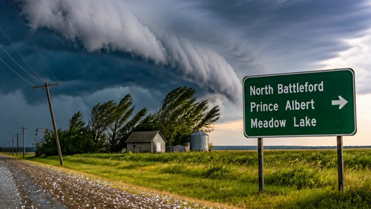
Environment Canada flags heightened severe weather threat
Environment Canada forecasters say warm, humid air combined with strong wind shear could produce powerful, potentially rotating thunderstorms across a broad swath of northern and west-central Saskatchewan on Saturday.
The agency identified the highest risk area as extending from North Battleford northeast toward Prince Albert and Meadow Lake, while noting that communities including Macklin, Unity, Wilkie and Biggar sit within the broader severe-weather zone. Farther south, storms could organize into clusters or lines capable of producing damaging winds, large hail and torrential rainfall.
Timing and intensity uncertain but potential for rapid intensification
Forecasters say available atmospheric energy could reach moderate levels across west-central Saskatchewan, and strong wind shear may enable thunderstorms to become organized and long-lived. That combination raises the potential for supercell development and, consequently, isolated tornadoes.
A layer of warm air above the surface — commonly referred to as a cap — may initially suppress storm development. Environment Canada cautioned that the most significant activity could therefore hold off until later Saturday afternoon or evening. Once the cap weakens, however, any isolated storm that forms could intensify quickly and become dangerous.
Local impacts and practical advice
- Potential hazards: damaging wind gusts, large hail, heavy rainfall and isolated tornadoes.
- Mainly affected corridor: North Battleford toward Prince Albert and Meadow Lake; broader risk includes Macklin, Unity, Wilkie and Biggar.
- Timing: late afternoon into evening, with uncertainty depending on earlier storm activity.
Environment Canada’s early Saturday forecast included a thunderstorm risk for North Battleford, but as of 10 a.m. no official weather alerts beyond numerous heat warnings had been issued. Humidex values remained elevated — with readings near 40 yesterday and expected to reach about 38 — while southwest Saskatchewan was forecast to see daytime highs in the low 30s and overnight lows in the high teens Saturday and Sunday.
| Location | Primary risk |
|---|---|
| North Battleford–Prince Albert–Meadow Lake | Highest risk for tornadic supercells |
| Macklin, Unity, Wilkie, Biggar | Within broader severe weather zone |
| Saskatoon | Thunderstorms and showers; winds gusting to 50 km/h by midday |
A cold front moving through the province on Sunday is expected to bring temperatures and humidity back toward seasonal norms. Until then, residents across the affected areas are urged to keep informed through Environment Canada updates and local alerts, to have a plan for sudden severe weather, and to avoid travel during intense storms if possible.
Given the potential for storms to form rapidly once atmospheric conditions change, staying tuned to official forecasts and heeding warnings remains the most effective way for individuals and communities to reduce risk.