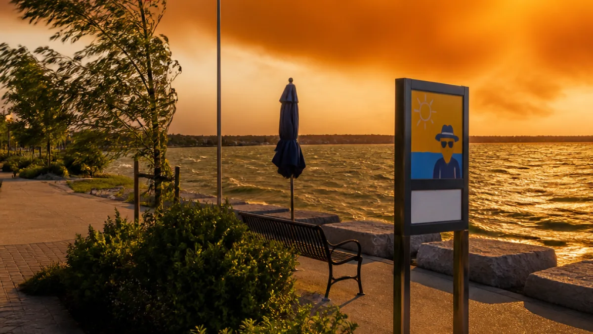
The weather picture for Burlington shows a brief period of late-evening storms before a warmer, mostly dry stretch through early next week, with a few caveats for residents: local smoke in the air, brisk northerly winds and a very high UV index.
Tonight and Sunday
Expect a few showers with thunderstorms to end early this evening, followed by mainly cloudy skies and a 30 percent chance of additional showers overnight. Winds will shift to the north and strengthen, becoming about 20 km/h with gusts up to 40 km/h. The overnight low is forecast near 15 °C.
- Sunday: daytime high around 24 °C; a mix of sun and cloud with clearing later in the morning; humidex near 27.
- Sunday night: mainly clear and cooler, low about 14 °C.
UV index 8 or very high — take sun-protection precautions if you will be outdoors.
Early week outlook
Monday looks warm and sunny with a high near 27 °C, though cloudier conditions and a chance of showers return later Monday night and through Tuesday. Temperatures moderate through midweek, with highs in the low to mid-20s.
| Day | Forecast | High / Low |
|---|---|---|
| Tonight | Showers/thunderstorms ending; mainly cloudy | Low 15 °C |
| Sunday | Sunny intervals; clearing late | High 24 °C / Low 14 °C |
| Monday | Sunny | High 27 °C |
| Tuesday | Cloudy with showers possible | High 23 °C |
What Burlington residents should know
- Air quality may be reduced where local smoke is present; consider limiting strenuous outdoor activity if you are sensitive to smoke.
- Strong northerly gusts (to 40 km/h) could affect light objects outdoors and make boating or cycling choppier; secure loose items.
- With a UV index of 8, apply sunscreen, wear protective clothing and limit sun exposure during peak hours.
Residents should watch for short-term changes and any updated local advisories if storms redevelop or smoke concentrations increase. Otherwise, the coming days bring a warmer, mostly dry spell before cloudier, cooler conditions and a higher chance of showers arrive by midweek.