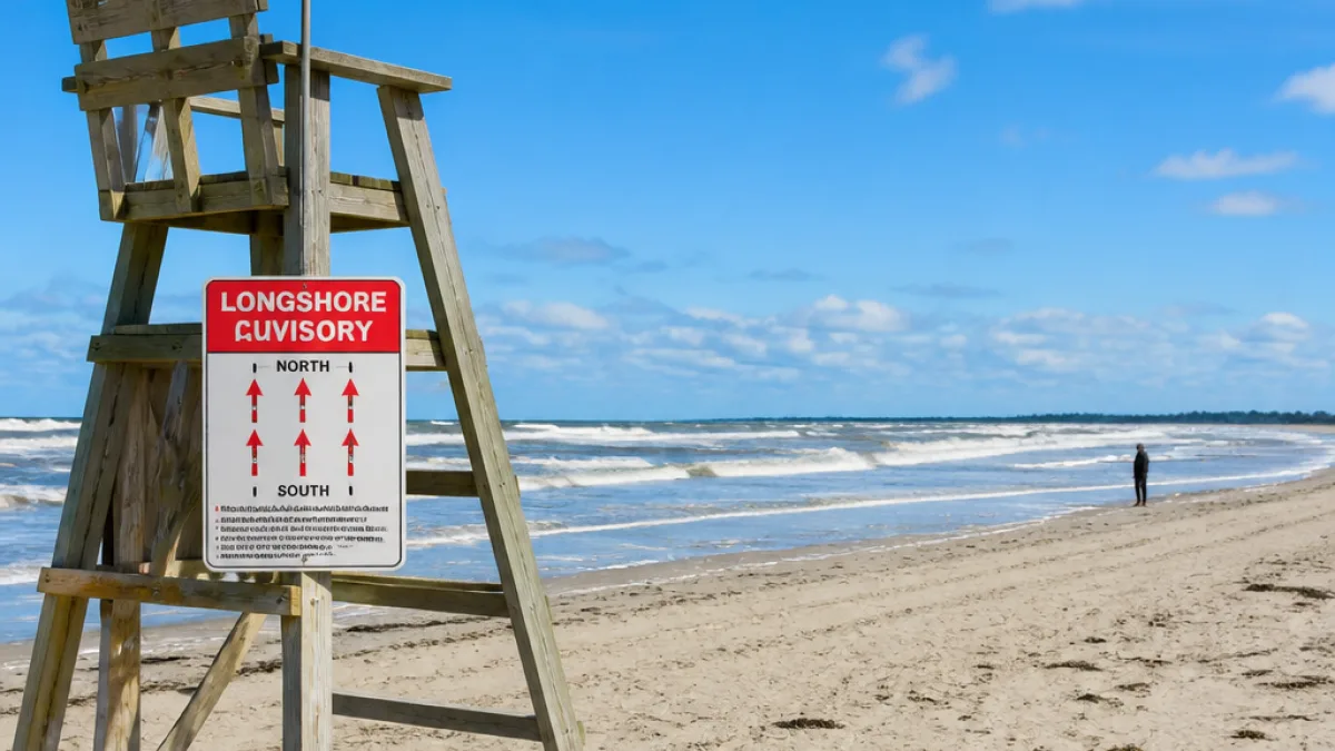
Alert for South Carolina coast may affect Georgetown residents with beach plans
An updated beach hazards statement from the National Weather Service (NWS) in Wilmington, N.C., is in effect for the Myrtle Beach area and Coastal Georgetown in South Carolina on Saturday. The advisory, issued at 2:41 a.m. and valid from 6 a.m. to 8 p.m., warns of a strong south-to-north longshore current capable of carrying swimmers into hazardous areas.
The notice is directed at ocean users along South Carolina’s Grand Strand, but it is relevant to residents of Georgetown, Ontario who may be visiting family, vacationing, or otherwise travelling to beaches in that region. The NWS cautions that such currents can quickly change where water moves parallel to shore, making it difficult for even confident swimmers to keep their footing or return to the beach.
“Strong south to north longshore current.” “Longshore currents can sweep swimmers and surfers into rip currents, piers, jetties, and other hazardous areas. It may sweep swimmers off their feet, making it difficult to return to shore.” The NWS adds: “Caution should be used when in or near the water. Check with lifeguards before entering the ocean for possible hazards.”
What the hazard means for ocean conditions
According to the statement, the primary risk comes from a persistent longshore current running along the beach line. When that current strengthens, people wading or swimming may be pulled unexpectedly along the shoreline and into rip currents, or toward piers and jetties where water movement and hard structures increase danger. The advisory highlights that these conditions can also knock swimmers off their feet, especially in the surf zone, raising the likelihood of being pushed into deeper water or losing balance in breaking waves.
While the alert does not close beaches, it signals that water users should take added precautions and remain aware of shifting conditions. The NWS guidance applies to all ocean activities, including swimming, surfing and wading.
Who is covered and for how long
| Area | Authority | Validity | Primary hazard |
|---|---|---|---|
| Myrtle Beach area, Coastal Georgetown (S.C.) | NWS Wilmington, N.C. | 6 a.m. to 8 p.m. Saturday | Strong south-to-north longshore current |
The NWS issued the update in the early hours of Saturday, noting that the statement remains in effect until 8 p.m. Conditions can change through the day based on local winds and surf, so beachgoers are asked to stay alert to any updates from lifeguards or posted flags at access points.
Advice for beachgoers
The NWS explicitly advises people to use extra care near the water line and to speak with trained personnel before entering the surf.
- Check with lifeguards at your beach location for the latest, site-specific information on hazards.
- Exercise caution in or near the water, especially around piers, jetties and areas with stronger surf.
- Reassess plans if currents appear stronger than expected and remain on shore if uncertain.
The statement is part of routine coastal hazard messaging issued by the National Weather Service when nearshore conditions pose elevated risk to swimmers and surfers. Beachgoers can expect additional advisories if conditions warrant. The original alert was listed as updated on Saturday following a report initially published the evening of July 17, 2026.
Georgetown residents planning to head to the South Carolina coast today should factor in the advisory’s timing and speak with lifeguards on arrival. Those remaining on shore should keep an eye on companions in the surf and steer clear of structures where currents can intensify.