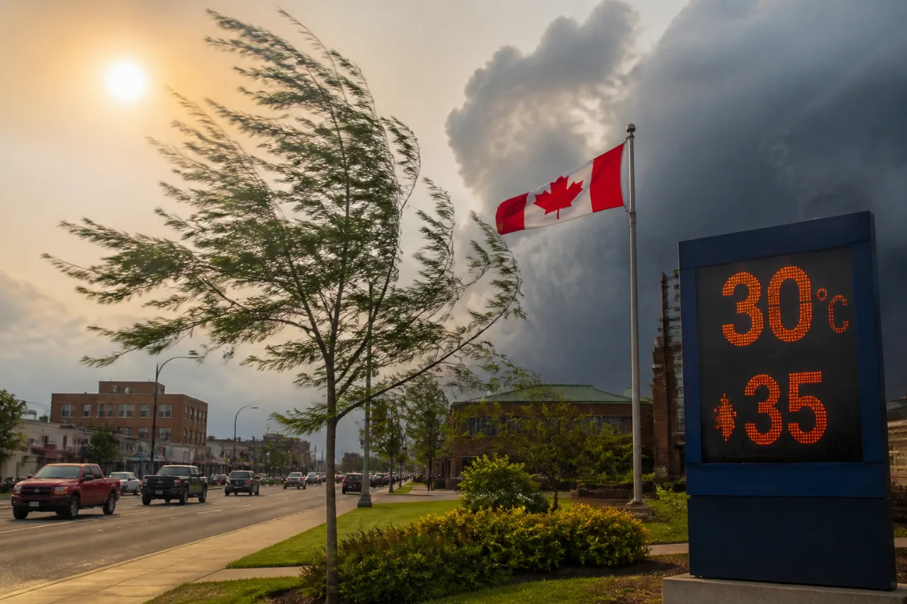
Timmins is set for a hot, breezy and occasionally smoky day on Tuesday, with a high near 30 C, a humidex of 35 and a UV index of 9 deemed very high. Data based on Environment Canada guidance also point to a 40% chance of morning showers and a risk of a thunderstorm before skies clear in the afternoon.
Early-morning observations listed cloudy conditions around 7 a.m., a temperature near 23.8 C, humidity of 66% and a westerly breeze near 9 km/h. Through late morning, winds are forecast to shift and strengthen from the northwest to around 30 km/h with gusts up to 50 km/h. Forecasters also note periods of local smoke during the day.
Hot afternoon, very high UV
Daytime heating will push temperatures to the upper 20s and 30 C range by mid- to late afternoon, with the apparent temperature (humidex) climbing to 35. Under a UV index of 9, unprotected skin can burn quickly. If outdoors, favour shade, apply and reapply broad-spectrum sunscreen, wear a hat and UV-protective eyewear, and drink water regularly. Limit strenuous activity during the hottest hours when possible.
Windy turn and smoke pockets
A notable shift to northwest winds will develop late in the morning, with sustained speeds near 30 km/h and gusts to 50 km/h. Gusty conditions can kick up dust and reduce comfort levels. The mention of local smoke suggests air quality may vary by neighbourhood and time of day. If you notice haze or odour, consider moving activities indoors or choosing lower-exertion options, and keep windows closed if smoke becomes pronounced.
Thunderstorm and shower chances
The forecast carries a 40% probability of showers in the morning along with a risk of a thunderstorm. Lightning safety applies even to brief or isolated cells—when thunder roars, head indoors. With gusty winds present, an isolated storm could produce rapid weather changes over short distances.
Evening cool-down and a milder midweek
Skies trend clearer into the afternoon and evening. Winds will ease after sunset, with an overnight low near 15 C under a few clouds. The midweek outlook signals slightly cooler days, a continued breeze and intermittent shower chances.
| Period | Conditions | Temperature | Notes |
|---|---|---|---|
| Today (Tue) | Mix of sun and cloud; local smoke | High 30 C (Humidex 35) | 40% morning showers; thunderstorm risk; NW wind 30 km/h, gusts 50 |
| Tonight | Few clouds | Low 15 C | NW wind easing to light |
| Wednesday | Sunny a.m., then mix; 30% p.m. showers; storm risk | High 27 C (Humidex 29) | NW wind 30 km/h, gusts 50 |
| Wednesday night | Cloudy periods | Low 13 C | — |
| Thursday | Mix of sun and cloud; 30% showers | High 25 C | — |
What to watch
- Heat and humidity: Humidex of 35 can strain those working or exercising outdoors. Hydrate, take breaks and check on neighbours who may be vulnerable.
- Air quality shifts: Localized smoke can change quickly. If visibility drops or irritation occurs, move indoors and use clean-air spaces if available.
- Wind-sensitive plans: Gusts to 50 km/h may affect outdoor events and unsecured items; tie down lightweight objects.
The broader seven-day trend points to seasonable to warm afternoons—generally in the low-to-mid 20s—with periodic cloud and a few shower chances. Typical mid-July normals for Timmins are a high near 25 C and a low around 12 C, placing today several degrees above average before a modest cooldown midweek.
Sunrise was listed at 5:38 a.m., with sunset at 9:23 p.m.