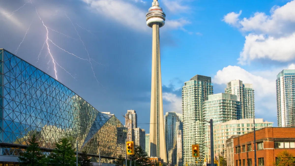
Rain returns as air clears over Toronto
Toronto will shift from smoke-choked skies to a week that begins with improving air and ends with a run of changeable summer weather. After several days of degraded air quality linked to northern Ontario wildfires, monitoring from IQAir now rates conditions in the city as good. CP24 meteorologist Bill Coulter said the heavy haze that settled over the region has moved on, while cautioning that officials will keep watch on winds and fire activity to assess any future impacts.
“The invasion of dense smoke and haze has ended, at least for now,” and “We’ll continue to monitor the situation with northern Ontario forest fires and the prevailing wind direction for future local impacts.”
Environment Canada’s outlook points to a quick turn toward unsettled conditions. Monday brings seasonable temperatures with clouds pushing in late. By Tuesday around midday, the agency forecasts a 70 per cent chance of rain and a risk of thunderstorms earlier in the day. Temperatures are expected to top out near 24 C, but the humidex could make it feel closer to 32. The agency noted a higher of 26 C Monday, feeling like 29.
What to expect through the week
Skies are set to brighten midweek. Coulter said conditions should clear on Wednesday with a slightly cooler high near 22 C. On Thursday, federal forecasters call for sunshine and a high near 26 C, dropping to about 14 C overnight. The week likely closes on a more variable note: Friday is currently expected to bring a mix of sun and cloud with a 30 per cent chance of showers and more cloud cover into the evening.
| Day | High (C) | Humidex | Precip. chance | Notes |
|---|---|---|---|---|
| Mon | 26 | 29 | — | Seasonable; clouds late |
| Tue | 24 | 32 | 70% by noon | Risk of thunderstorms earlier |
| Wed | 22 | — | — | Clearing |
| Thu | 26 | — | — | Sunny; low near 14 C |
| Fri | — | — | 30% | Mix of sun and cloud; cloudier late |
Air quality improves, but outlook remains weather-dependent
Monday’s improved readings mark a change from Toronto’s recent stretch of poor air quality, when the city ranked among the worst major centres globally due to wildfire smoke. Shifting winds have helped clear the lower atmosphere locally. Meteorologists caution that conditions could vary again depending on the evolution of the northern fires and prevailing wind direction.
Residents with plans outdoors early this week may want to monitor the radar and advisories. The risk of thunderstorms Tuesday morning increases the likelihood of brief, locally heavy rain, lightning and gusty conditions. While Environment Canada has not issued severe weather warnings at this time, the agency recommends keeping updated through its alerts portal as conditions can change quickly in summer convective setups.
What Torontonians can do today
- Plan for wet weather on Tuesday; consider flexible travel time in case of downpours or lightning delays.
- If you are sensitive to smoke, keep an eye on air-quality updates as winds can shift; conditions are currently rated good.
- Secure outdoor items ahead of potential thunderstorms and use caution near trees and open fields during lightning.
Transit and outdoor programming often adjust to weather on short notice. Checking real-time service alerts, event pages and municipal updates before heading out can help avoid interruptions if showers pop up. For now, the city’s forecast suggests a brief period of unsettled weather before a clearer, slightly cooler midweek stretch and a variable finish to the workweek.