
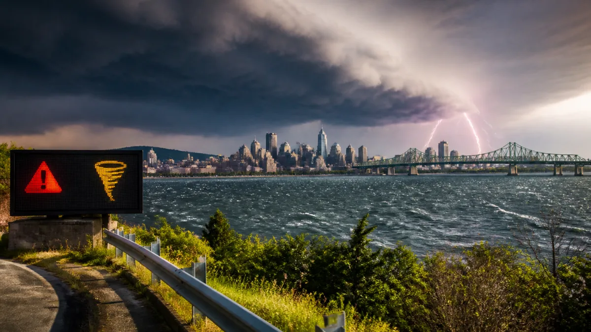
Severe storms possible this afternoon; heat and humidity intensify
Greater Montreal is under a severe thunderstorm watch Tuesday, with forecasters cautioning that storms capable of producing strong wind gusts, large hail and heavy downpours are possible by late day. The advisory from Environment and Climate Change Canada comes as temperatures climb to a daytime high near 33 C, with a sweltering humidex of 42 and very high UV levels.
Forecast guidance early Tuesday indicated gusty conditions, with winds expected to reach about 50 km/h in the morning, shifting to unsettled weather by late afternoon. There is a 40 per cent chance of showers and thunderstorms toward the end of the day, and forecasters say a tornado cannot be ruled out in the region. Conditions are expected to improve around midnight as showers and thunderstorms taper off.
“There is also a risk of a tornado.”
Authorities also underscored the dangers that lightning and sudden squalls pose on lakes and rivers. As forecasters put it:
“It can be dangerous to be on bodies of water during thunderstorms. They also recommend going indoors when there are thunder and lightning which can be fatal.”
What to know for this evening and the rest of the week
While the most active weather is expected Tuesday evening, the pattern shifts quickly mid-week. Wednesday is forecast to be sunny and more comfortable, with a high near 29 C and a humidex of 33, before a return to unsettled conditions on Thursday. A mix of sun and cloud is expected Thursday with a 60 per cent chance of showers and a daytime high close to 26 C. Skies are projected to clear by Thursday evening. Friday looks mainly sunny with a high around 26 C.
| Day | High (C) | Humidex | Precipitation | Evening/Overnight |
|---|---|---|---|---|
| Tuesday | 33 | 42 | 40% chance late afternoon; severe storms possible | Showers/thunderstorms ending around midnight; low near 20 C |
| Wednesday | 29 | 33 | Sunny | Clear; low near 19 C |
| Thursday | 26 | — | 60% chance of showers | Clouds clearing; low near 16 C |
| Friday | 26 | — | Sunny | Low near 19 C |
Potential impacts for public services and travel
Short-lived but intense thunderstorms can bring rapid changes in visibility, isolated flooding on low-lying roadways, and scattered debris from strong gusts. While no specific disruptions have been announced, residents should plan for possible delays on surface routes during the evening commute and monitor service alerts if travelling. Lightning and sudden wind shifts are particularly hazardous on open water; boaters and paddlers should make immediate plans to reach shore if skies darken or thunder is heard.
The combination of high heat, humidity and strong sunshine heightens the risk of heat stress. People who work or exercise outdoors should schedule breaks in the shade and drink water frequently. Late-day storms may be preceded by a rapid drop in pressure and gusty outflow winds; loose items on balconies and construction staging can become airborne in these conditions.
How to reduce risk during storms
- Move indoors when thunder approaches; avoid open water and exposed high points.
- Stay away from windows during high winds and wait until thunder has passed before heading out.
- Give extra time for travel late day and check for transit or flight advisories.
- Limit outdoor activity during peak heat; seek shade and hydration to manage the 42 humidex.
According to the latest outlook, conditions should calm after midnight as the storm threat diminishes. Skies clear Wednesday, offering a brief respite before showers return Thursday. Residents are encouraged to keep an eye on updated bulletins through the day as the track and intensity of thunderstorms can evolve with daytime heating.