New listening posts promise clearer picture under Quebec waters
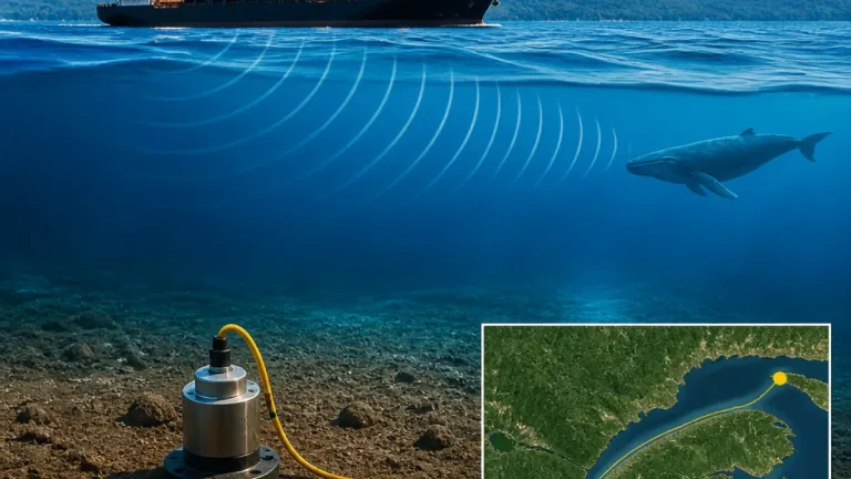
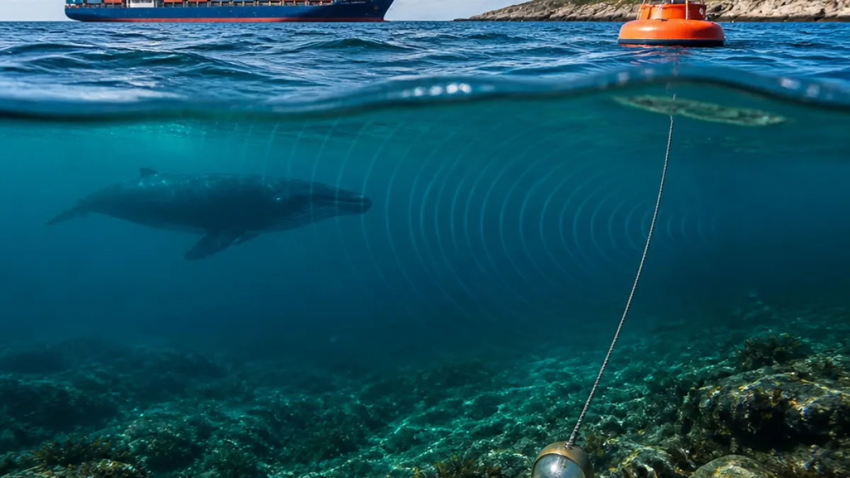
A recently published study points to a new marine monitoring system in Quebec that can pick up undersea earthquakes, whale songs, ship noise and tidal activity — and argues those measurements could help tighten or fine‑tune environmental regulations. While technical details of the research were not released alongside the summary, the findings underscore how continuous, place‑based data can guide public decisions on ocean health and maritime safety across the St. Lawrence River and adjacent waters.
The proposal arrives as communities and industries along Quebec’s marine corridor balance economic activity with ecological stewardship. Monitoring that captures sound and motion in real time can show when and where underwater noise peaks, how tides are shifting, and when seismic tremors occur. Over time, those baselines become the evidence that ministries and agencies rely on to assess risks, plan mitigation and calibrate rules.
What the study highlights
According to the study summary, the system’s value lies in linking several streams of ocean information that policymakers rarely see together at consistent resolution. That integrated picture can be used to examine whether current thresholds and time‑area measures are working as intended, and where adjustments may be warranted.
| Signal detected | Why it matters for policy |
|---|---|
| Whale songs | Helps map presence and patterns of marine mammals to inform protection measures and activity timing. |
| Ship noise | Reveals where and when underwater noise is highest, supporting noise‑reduction strategies. |
| Undersea earthquakes | Improves awareness of geohazards that can affect infrastructure and emergency plans. |
| Tidal activity | Refines understanding of currents and water levels relevant to navigation and habitat protection. |
How better data can translate into better rules
For regulators, evidence drawn from a network of hydrophones and ocean sensors can support targeted, proportionate measures rather than broad, one‑size‑fits‑all restrictions. In practice, that can mean:
- Time‑of‑day or seasonal operating practices informed by measured noise patterns.
- Location‑specific guidance shaped by verified marine mammal presence and tidal conditions.
- Risk planning based on observed seismic and oceanographic variability, not assumptions.
For local communities and operators, transparent datasets can also reduce uncertainty. Instead of relying on episodic surveys, decision‑makers can track trends, verify whether mitigation is working and adjust when conditions change. That feedback loop is essential in high‑use corridors such as the St. Lawrence, where conservation, shipping and tourism intersect. A widely shared image of a humpback near Tadoussac, Que., captured in fog over the St. Lawrence, illustrates the proximity of wildlife, boat traffic and coastal towns — and the stakes for getting management right.
Governance and practical implications in Quebec
In Quebec, marine policy touches multiple jurisdictions. Scientific data that clearly show where sensitive periods occur or where noise is concentrated can help align actions across departments and levels of government. It can also inform environmental assessments for coastal projects and guide monitoring requirements after approvals are granted. The study’s central point — that more consistent listening and measuring can support smarter, adaptive regulation — meshes with calls for decisions anchored in observed conditions rather than projections alone.
Residents, fishers, tourism operators and shipping services stand to benefit from earlier alerts on unusual seismic activity, better tide and current awareness, and more predictable regulatory timelines. Over the long term, consistent monitoring can document whether measures achieve their aims, justify adjustments and build public confidence that rules are tied to what is actually happening under the surface.
What to watch next
The next steps for any emerging monitoring network typically involve expanding sensor coverage, agreeing on data standards and ensuring public reporting that communities can use. As the study suggests, the practical payoff is strongest when those signals are integrated into planning and compliance reviews. Whether in quiet coves or busy channels, the ability to hear and measure what was once out of sight is fast becoming a core public service — one that can help Quebec manage its waters with greater precision and accountability.