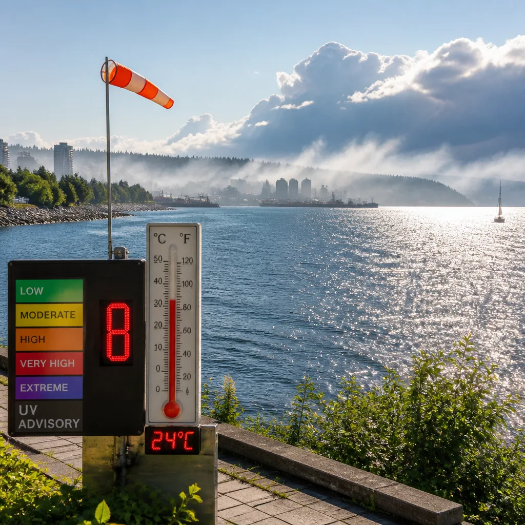
Sunny start, smoky skies
Sunday opens mainly sunny across Sault Ste. Marie, but local smoke remains in the air. Daytime temperatures are forecast to reach 24 C, feeling closer to 28 on the humidex, with a UV index of 8, categorized as very high. That combination calls for sun protection and reduced exertion if smoke concentrations increase at times.
Through the evening, skies turn partly cloudy before cloud thickens after midnight. There is a 30% chance of showers toward morning and a risk of a thunderstorm. Winds are expected to shift to the southwest near 20 km/h before dawn. Overnight low: 14 C. Smoke may linger overnight.
Storm chances rise Monday
Monday trends cloudier with a 40% chance of showers and a continued risk of thunderstorms. Local smoke could persist in the morning. Winds start light after a southwest flow early, then strengthen from the southwest to 30 km/h late in the morning. Expect a high near 24 C (humidex 29), and a UV index of 7, which is high even under cloud breaks.
Showers become more likely Monday night, with a 60% chance of rain and a mild low of 17 C. Residents should be prepared for wet commutes and possible rumbles of thunder into the evening and overnight.
Midweek cool-down and wind
A cooler, unsettled pattern follows. Tuesday remains cloudy with a 30% chance of showers and becomes windy, with a daytime high of 18 C. The wind and cloud persist into Tuesday night with another 30% chance of showers and a low near 13 C. By Wednesday, persistent winds continue but skies begin to clear, yielding a brighter day with a high around 19 C, followed by a clear, cooler Wednesday night near 11 C.
Late-week conditions stabilize and warm. Thursday is sunny with a high near 24 C, then some cloud returns Thursday night (13 C). Friday brings a mix of sun and cloud and a high near 23 C, with similar temperatures Friday night. A modest chance of showers (30%) reappears Saturday with a seasonable high around 22 C.
What to watch
- Smoke and air quality: Intermittent smoke today and Monday morning can reduce visibility and air quality at times. If you notice haze or smell smoke, limit prolonged outdoor exertion, especially for children, older adults, and people with heart or lung conditions. Keep indoor air clean by closing windows when smoke thickens.
- Thunderstorm risk: The window for a few thunderstorms opens late tonight into Monday. While the forecast does not specify severity, be prepared for brief heavy showers, gusty winds, and lightning. When thunder roars, move indoors. Secure light outdoor items ahead of the wind shift.
- High UV today: With a UV index of 8 this afternoon, use sunscreen, wear a hat and sunglasses, and seek shade during peak sun hours.
At a glance: multi-day outlook
| Period | Conditions | High / Low | Precip. chance | Notes |
|---|---|---|---|---|
| Sun (day) | Mainly sunny; local smoke; very high UV | 24 C | — | Humidex 28 |
| Sun night | Clouding over; risk t-storm | 14 C (low) | 30% | SW wind ~20 km/h before morning |
| Mon (day) | Cloudy; risk t-storm; local smoke a.m. | 24 C | 40% | SW wind increasing to 30 km/h; Humidex 29; UV 7 |
| Mon night | Cloudy | 17 C (low) | 60% | Showers likely |
| Tue (day) | Cloudy; windy | 18 C | 30% | Cooler |
| Tue night | Cloudy; windy | 13 C (low) | 30% | Unsettled |
| Wed (day) | Clearing; windy | 19 C | — | Brighter, still breezy |
| Wed night | Clear | 11 C (low) | — | Cool night |
| Thu (day) | Sunny | 24 C | — | Warmer, calmer |
| Fri (day) | Mix of sun and cloud | 23 C | — | Seasonable |
| Sat (day) | Sun/cloud mix; chance of showers | 22 C | 30% | Spotty showers possible |
Safety and planning
Plan outdoor time earlier in the day while air quality and heat remain manageable, and keep an eye on the sky tonight as the thunder risk develops. Hydrate in the afternoon warmth, check forecasts before travel, and allow extra time during any bursts of rain and gusty winds Monday into Tuesday. Sensitive groups should have a clean-air room ready when smoke thickens and use masks designed for smoke if outdoor activity is unavoidable.