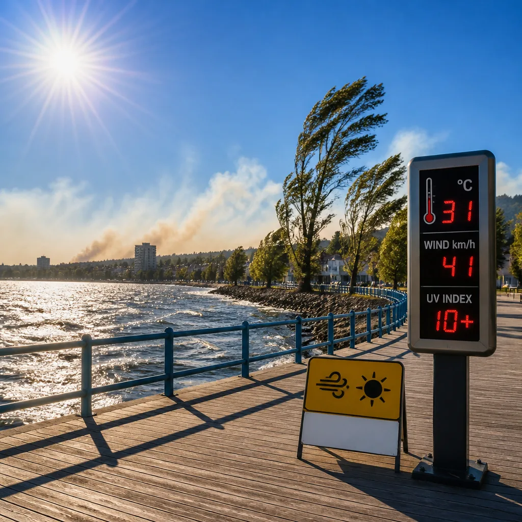
At 11 a.m. EDT in North Bay the sky was sunny with temperature reading 22.1°C, pressure rising at 101.4 kPa and visibility about 16.1 km. Winds from the northwest were sustaining around 28 km/h with gusts to 42 km/h.
Today’s conditions and short-term trend
Environment Canada–based guidance indicates a daytime high near 24°C, with cloudiness diminishing near midday. Forecasters warn that widespread smoke will begin to concentrate into more local smoke by noon as winds pick up from the north. The day will feel slightly humid, with a humidex around 27, and the ultraviolet index is expected to be 8 (very high).
Winds and timing
Winds are forecast to strengthen to the north at about 30 km/h with gusts up to 50 km/h through the morning before easing this evening. Overnight lows will drop to around 11°C with clear skies and lighter winds.
Hourly and short-range forecast
| Time | Temp (°C) |
|---|---|
| 12 p.m. | 23 |
| 3 p.m. | 24 |
| 6 p.m. | 23 |
| 9 p.m. | 21 |
| 11 p.m. | 18 |
The seven‑day outlook keeps highs around the mid‑20s for much of the coming week, with scattered chances of showers developing by Friday night and into the weekend. Notable entries: Friday and Saturday highs near 25°C, and by next Wednesday a cooler high near 20°C is possible.
Health and safety guidance
- Avoid prolonged outdoor exertion if you are in a smoke‑sensitive group (children, older adults, and people with respiratory or cardiac conditions).
- Use sunscreen and wear protective clothing while outdoors—UV index is 8, considered very high.
- Secure loose objects; gusts may reach 50 km/h this morning.
Sunrise occurred at 5:41 a.m. and sunset is at 9:06 p.m. Normals for the date are a low of 14°C and a high of 25°C. Observations and forecasts are drawn from Environment Canada data.