Watch issued for Toronto and neighbouring regions
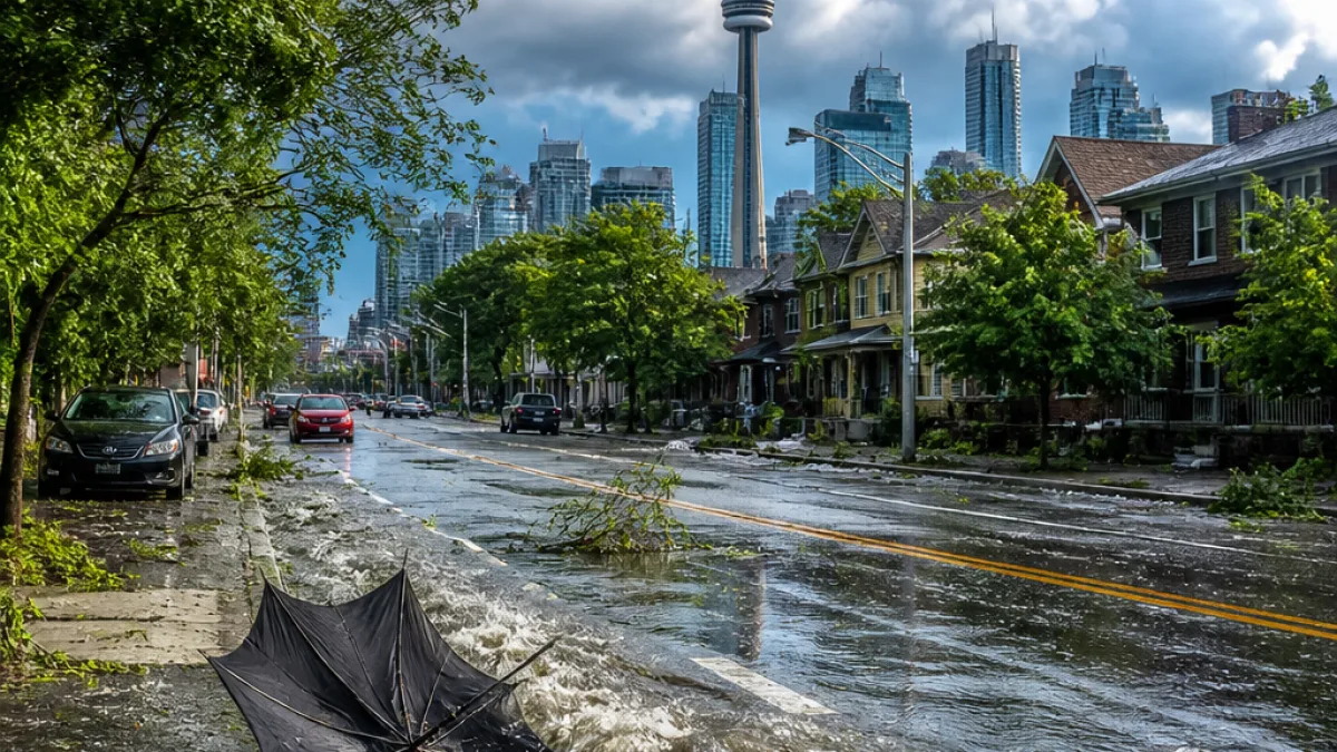
Environment and Climate Change Canada has placed the Greater Toronto Area under a yellow-level severe thunderstorm watch as a cold front moves east from Michigan. The agency warned Saturday morning that thunderstorms could bring hail, heavy rain and damaging wind gusts up to 110 km/h, with the most significant impacts expected late morning into early afternoon.
What forecasters say
The federal statement forecast rainfall amounts up to 40 millimetres and hail ranging from about the size of a quarter up to the size of a ping-pong ball. Officials cautioned that such storms can reduce visibility quickly and produce flash flooding in vulnerable locations.
“Driving conditions may be difficult. Local utility outages are possible. Damage to roofs, fences, branches or soft shelters is possible.”
Local risks and advice
Municipalities in the watch area include Toronto and parts of Peel, York, Durham and Halton regions, as well as Hamilton. The Toronto and Region Conservation Authority specifically warned that rivers and watersheds could rise above their normal levels with stronger and faster flows during heavy downpours.
- Wind: gusts up to 110 km/h — risk of downed branches and localized utility outages
- Precipitation: up to 40 mm — potential for flash flooding and poor visibility
- Hail: from quarter size to ping-pong ball size — possible property damage
What Toronto residents should do
Residents should secure loose outdoor objects, avoid travel if conditions deteriorate, and take care when driving in heavy rain or with poor visibility. Those in flood-prone or riverside neighbourhoods should monitor water levels and follow guidance from local conservation authorities. Keep phones charged and have a way to receive weather alerts; expect possible interruptions to power or other services.
| Region | Main hazards |
|---|---|
| Toronto | High winds, heavy rain, hail |
| Peel, York, Durham, Halton | Wind gusts, local flooding, hail |
| Hamilton | Thunderstorms, possible damaging winds |
For the latest watches and warnings, residents should check Environment and Climate Change Canada updates and local municipal alerts. The watch was current as of the morning bulletin; conditions can change rapidly as the front progresses.