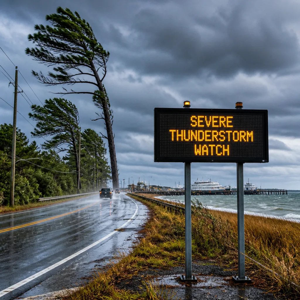
Alert details and timing
The U.S. National Weather Service office in Newport/Morehead City, N.C., issued an updated alert on Sunday at 4:34 p.m. for strong thunderstorms affecting Mainland Hyde and Beaufort County. The alert remains in effect until 5 p.m., with forecasters warning of wind gusts up to 50 mph and the potential for unsecured objects to be blown around. A broader Severe Thunderstorm Watch continues for eastern North Carolina until 8 p.m.
"At 4:34 p.m., Doppler radar tracked a strong thunderstorm over Yeatesville, or 14 miles east of River Road, moving east at 35 mph," according to the NWS. "Gusty winds could knock down tree limbs and blow around unsecured objects."
Communities identified in the alert include Belhaven, Sladesville, Ransomville, Scranton, Pamlico Beach, Winsteadville, Bayview, Sidney Crossroads, Yeatesville, Goose Creek State Park, Bayview Ferry Terminal and Sydney Crossroads.
| Parameter | Detail |
|---|---|
| Issuing office | NWS Newport/Morehead City, NC |
| Issued | 4:34 p.m. Sunday |
| Areas | Mainland Hyde, Beaufort County |
| Storm motion | East at 35 mph |
| Peak gusts | Up to 50 mph |
| Alert valid | Until 5 p.m. |
| Watch | Severe Thunderstorm Watch until 8 p.m. for eastern North Carolina |
What the NWS advises
Forecasters urged those in the path to remain weather aware and be ready to move quickly if conditions worsen. The agency noted the storm could intensify and recommended monitoring local radio and television for further updates and potential warnings.
The NWS comments, "If outdoors, consider seeking shelter inside a building. This storm may intensify, so be certain to monitor local radio stations and available television stations for additional information and possible warnings from the National Weather Service. A Severe Thunderstorm Watch remains in effect until 8 p.m. for eastern North Carolina."
The primary hazards from these storms include gusty winds capable of breaking small branches and dislodging unsecured items. Travel across open bridges, ferry approaches and exposed stretches near the Pamlico River and adjacent waterways may be affected by sudden wind shifts and reduced visibility under heavy downpours. Power interruptions are possible where limbs contact lines.
Lightning risk and how to reduce exposure
The National Weather Service underscores the widespread summer lightning threat in the United States, noting that roughly 25 million cloud-to-ground strikes occur annually and are associated with about 20 fatalities each year. Lightning probability rises as a storm approaches, peaks when it is overhead and then gradually falls as it moves away. The guidance remains the same regardless of storm intensity: treat every thunderstorm as dangerous for lightning.
- Have a plan before heading out. If skies turn threatening and you can hear thunder, move to a safer indoor location immediately.
- Once inside, avoid contact with corded phones, electrical devices, plumbing, and windows and doors.
- Wait at least 30 minutes after the last lightning or thunder before going back outside.
- If indoor shelter is not available, avoid open fields, hilltops, and ridge lines.
Who is affected right now
The alert specifically lists small communities and recreation areas east of the River Road area, including coastal-access points and a state park frequently used by hikers and paddlers. Short-duration warnings like this can change quickly as cells move or new ones develop, so conditions may vary significantly across short distances. For those along ferry routes or at exposed terminals such as the Bayview Ferry Terminal, brief service adjustments are possible if gusts approach the higher end of the forecast range.
What to watch next
With the Severe Thunderstorm Watch in effect through the evening for eastern North Carolina, additional warnings are possible. Keep mobile alerts enabled, secure outdoor items that could become airborne in 50 mph gusts, and be prepared for brief power disruptions if tree limbs come down. If you are travelling through the region or have plans on the water near Pamlico Beach and Goose Creek State Park, check the latest local advisories and be ready to seek shelter quickly.