New St. Lawrence array blends seismic, acoustic and tidal data
MONTREAL — A research team has operated a marine monitoring network along the south shore of the lower St. Lawrence River that, according to a newly published study, detected roughly twice as many earthquakes as Canada’s national system while simultaneously capturing whale vocalizations, ship noise and tides. The authors say the integrated record could give policymakers and regulators a stronger factual basis for decisions on marine protection and industrial activity.
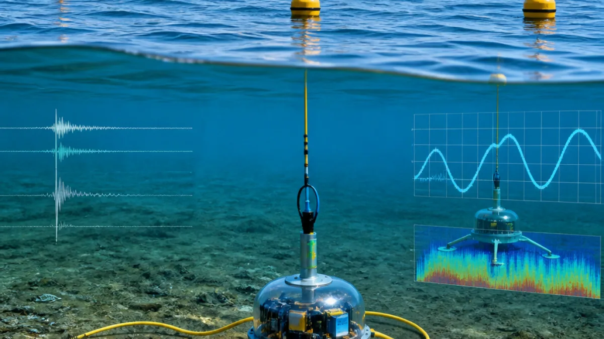
Developed by scientists at McGill University, Natural Resources Canada, the Université du Québec à Montréal and Dalhousie University, the network combines seabed seismometers with coastal and onshore stations. The instruments were installed in the estuarine corridor between Rimouski and Sept-Îles and left in place across several months, from September through May in the 2023–2025 window.
"I think this is a truly interesting, innovative, and original aspect of this project: for the first time, we were able to install this equipment on the riverbed and leave it in place for an extended period to record all these signals,"
lead author Yajing Liu, of McGill’s Department of Earth and Planetary Sciences, said in an interview released with the study. She added in a separate remark that,
"We use seismometers to record any source that might disturb or disrupt the sea floor and cause very slight vibrations at the sea floor."
Why the findings matter for Quebec’s regulators
Environmental reviews and marine protection rules often rely on models or short-term surveys to assess underwater noise, seismic risk and wildlife presence. By keeping a multi-sensor array in one place for months, the researchers say they assembled a continuous, co-located dataset that shows how natural signals (earthquakes, tides) mingle with human activity (shipping, mining blasts) and the presence of whales. In a river system where navigation lanes, fisheries, and conservation zones overlap, that kind of evidence can inform speed limits, routing measures, or timing windows for industrial operations, among other tools used by federal and provincial authorities.
The study’s authors characterize the array as offering “a comprehensive picture of what's happening in, under, and at far distances from the water” with a single integrated device suite. In practical terms, that means one platform contributed to multiple monitoring needs rather than separate, siloed deployments. For agencies tasked with protecting species and maintaining safe navigation, a unified feed can shorten response times and reduce uncertainty in risk assessments.
What the network recorded
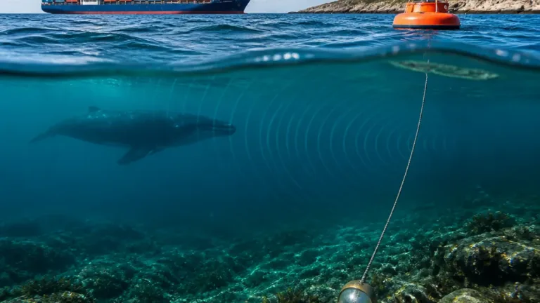
- Seismicity: Seafloor seismometers picked up a significantly higher count of small earthquakes than the National Earthquake Monitoring System over the same period.
- Marine mammals: The array logged whale calls, indicating presence patterns in the lower estuary.
- Anthropogenic noise: Sensors detected vessel traffic noise and signatures from mining blasts.
- Hydrodynamics: Tidal activity was captured alongside other signals, showing interactions in time.
The National Seismological Research Center supplied seabed instruments used across the estuary, while coastal and onshore stations rounded out the grid. Operating the sensors in concert allowed the team to cross-reference sources and isolate signals more confidently.
Where and when it ran
| Deployment corridor | Baseline period |
|---|---|
| Lower St. Lawrence estuary (Rimouski to Sept-Îles) | September–May, 2023–2025 |
Potential next steps
The authors suggest that datasets of this scope can underpin better-targeted environmental regulation in Quebec’s marine corridor. Because the array measured both natural and human-made vibrations in the same timeframe and place, regulators evaluating mitigation measures—such as speed restrictions or activity scheduling—could use the results to refine thresholds and zones based on observed, not assumed, conditions.
For coastal communities in Bas-Saint-Laurent and along the Côte-Nord, the work points to an emerging model of shared monitoring infrastructure: one that supports hazard assessment, conservation, and industrial planning without duplicating effort. The study underscores that leaving equipment in situ for longer windows can expose quieter seismic events and subtler acoustic footprints that periodic surveys might miss.
The research team has not announced a permanent deployment, but the successful trial across the lower estuary highlights how a multi-sensor array could serve as a standing baseline for Quebec’s busiest marine artery, feeding evidence to decision-makers tasked with balancing economic activity and ecological stewardship.