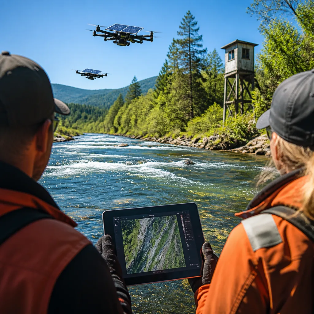
Scientists in Alaska have completed a pilot that uses solar-powered drones and image-based analysis to record salmon runs, aiming to update a counting method that has remained largely unchanged since the 1950s.
From towers to drones
Traditional salmon enumeration in Alaska relies on field biologists rotating between towers and skiffs, counting fish in short intervals then spending substantial time recording the numbers. That manual routine prompted Norman Van Vactor, a Dillingham, Alaska-based marine scientist, to seek technological alternatives.
With funding from the Bristol Bay Regional Seafood Development Association (USD 70,000, ACME Climate Grant) and the Bristol Bay Economic Development Corporation (USD 120,000), Van Vactor’s team purchased two solar-equipped drones and launched a three-phase pilot along the Wood River.
What the pilot produced
In the initial phase the project flew 256 drone sorties, producing 17,552 individual images of migrating salmon. Interns and project staff processed those photos into 117 orthomosaics — stitched, composite images intended to make comparison and counting more efficient.
- 256 drone flights
- 17,552 images captured
- 117 orthomosaics created
By positioning cameras where turbid river water clears, the team was able to identify fish well ahead of the traditional tower locations, in some cases 12 to 18 hours earlier than they would appear at counting towers.
“Someone like [Alaska Department of Fish and Game Fisheries Management Biologist] Tim Sands, he can hop in an airplane and fly the Wood River or the Nushagak, and based upon his 30 years of experience can go, 'Well, that's a lot of fish. That's probably 300,000 fish,'” Van Vactor said.
Potential advantages and limits
The use of drone imagery promises several practical benefits: reduced field labour, continuous or repeatable remote observation, and a digital record that preserves situational knowledge beyond individual experience. Van Vactor framed this as a way to transfer expertise that has traditionally been gained only through years on the water.
At the same time, the pilot remains a proof of concept. The project’s initial outputs are images and mosaics — inputs for further image analysis — rather than automated counts reported directly to management systems. Interns and software developers processed the visual data, underscoring that image collection is only one step toward a reliable, operational alternative.
What comes next
For this approach to scale, the team will need robust computer-vision models able to identify and count fish across varying water clarity, light and behavioural conditions, and integration with management workflows that currently rely on tower counts and aerial surveys. Funding partners have already supported acquisition and pilot operations; the next phases will determine whether the method can match or improve on the precision and reliability resource managers require.
| Item | Value |
|---|---|
| Grants | USD 70,000 (ACME) + USD 120,000 (BBEDC) |
| Drone flights | 256 |
| Images captured | 17,552 |
| Orthomosaics | 117 |
The Bristol Bay pilot is an early example of combining renewable-powered unmanned aircraft with modern image-processing for fisheries science. If future work produces automated, reliable counts, the method could reduce labour demands and help retain the collective knowledge that informs large-scale population estimates.
The project underscores an uneasy balance in applied ecology: new sensors and algorithms can expand observation, but they must be validated against long-standing techniques and the professional judgement that management decisions depend on.