The Soviet Union’s Kola Superdeep Borehole remains the deepest vertical hole humanity has drilled, plunging to 12,262 metres below the surface by 1989 and forcing geologists to revisit how they read the planet’s crust. Drilling began in 1970 with a scientific brief: recover samples from ancient continental crust, compare them with structures inferred from seismic waves, and test equipment in hot, stressed crystalline rock. The site sat on the Kola Peninsula near the Norwegian border, within the Baltic Shield’s exposed, very old crust.
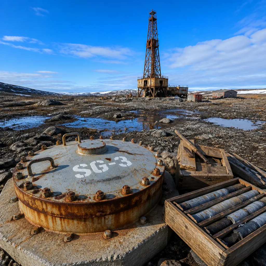
Engineers pursued a central well known as SG‑3. The effort was never about oil, gas or ore extraction; it was a proof-of-possibility and a probe of deep geology. Over nearly two decades, crews advanced through rock more than two billion years old, and in the process confronted the gap between human endeavour and planetary scale: even at its record depth, the borehole reached only about 0.2% of the distance to Earth’s centre.
What the project set out to test
A 1999 paper in Tectonophysics by Yuri Popov and colleagues described a design goal to exceed 10 kilometres and sample the ancient basement of the East European Platform. Beyond geological sampling, the team asked whether existing drilling technology could function deep in hot, high-stress crystalline rock. Ambitions eventually rose toward 15 kilometres, a mark the project did not achieve.
How the hole was drilled — and why it branched
This was not a single, perfectly straight shaft. Deep drilling compounds small deviations, and equipment failures or unstable intervals can block progress. When a section could no longer be extended, crews cut a new branch from higher up. A milestone came in 1983 when the project passed 12 kilometres. After further setbacks and branching, one arm ultimately reached the final depth of 12,262 metres in 1989.
| Milestone | Detail |
|---|---|
| Start of drilling | 1970 (Kola Peninsula, Baltic Shield) |
| Primary scientific aim | Sample deep continental crust; compare with seismic interpretations |
| Target depth (revised) | Up to 15 km (not reached) |
| Surpassed 12 km | 1983 |
| Record depth achieved | 12,262 m (1989) |
| Relative to Earth’s radius | ~0.2% of the way to the centre |
Why it mattered for Earth science
The Kola project did more than set a depth record. Direct cores from the deep continental crust offered ground truth against which seismic readings — the principal tool for imaging Earth’s inaccessible interior — could be checked. Findings from Kola compelled researchers to reconsider how certain seismic signals map to real rock units and structures. In other words, it refined the calibration between what instruments hear and what the crust actually contains.
Because the work progressed within a very old portion of continental crust, the cores also provided a rare look at rocks formed billions of years ago. By juxtaposing those physical samples with seismic interpretations, geologists could better judge which features in seismic profiles correspond to specific rock types or boundaries. That iterative loop between drill core and wave-based imaging remains a cornerstone of how scientists infer the structure of the continental crust at depths far beyond the reach of conventional mines.
The scale problem: a record that still looks tiny
Even with specialised rigs and persistence over nearly twenty years, the 12.262‑kilometre achievement underscores the gulf between human tools and geological dimensions. Consider:
- Depth vs. scale: 12,262 m is a towering engineering feat, yet still a minute fraction of the planet’s radius.
- Engineering limits: High temperatures, rock stress and cumulative deviations force branching and set practical depth ceilings.
- Scientific payoff: Direct samples from depth constrain interpretations based primarily on seismic data, improving models of the crust.
Enduring legacy
As a science-first enterprise in one of Earth’s oldest crustal provinces, the Kola Superdeep Borehole set a benchmark that stands to this day: the deepest vertical borehole yet attempted. Its record depth, the challenges it logged and the way it sharpened seismic interpretation continue to inform how geoscientists probe the subsurface. Perhaps the most instructive lesson is conceptual — that even when human engineering pushes to extremes, the Earth’s interior remains vast, complex and, in many respects, just beyond reach.